Forest reserves & plantations
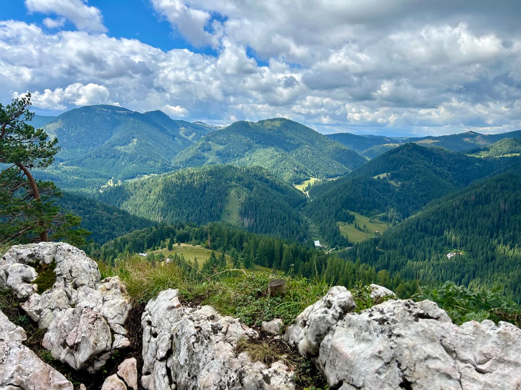
Gazetted reserves protect water catchments, soils and wildlife. Government plantations supply the nation’s timber.
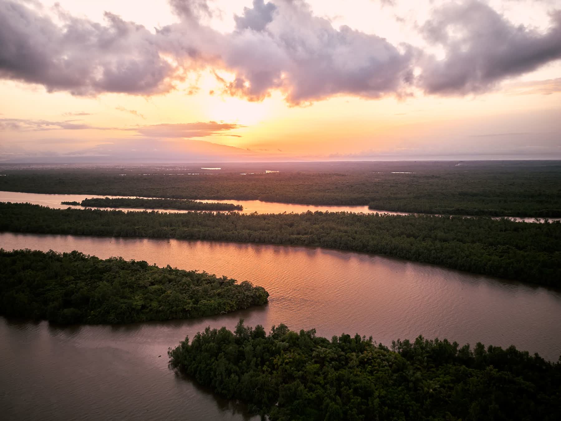
Reserves hold the catchments that feed our rivers, irrigation and hydropower.
The forest estate
Reserves and plantations
Forest reserves are gazetted under the Forestry Act. Most lie on hills, mountains and the escarpments of the Rift Valley, protecting the catchments that feed Malawi’s rivers. Inside a reserve, cutting, grazing, settlement and even entry without authority are controlled, and the Department works with neighbouring villages under co-management agreements.
Government plantations, from the Viphya in the north to Mulanje and Phalombe in the south, are managed for timber, poles and fuelwood, and replanted after harvest.
- Gazetted forest reserves
- 88
- Under forest reserves
- 870,115 ha
- Government plantations
- 22
Forest reserves
Every gazetted forest reserve
Search by name or district, or show one region.
- 88 forest reserves
- 870,115 ha in all
| Reserve | District | Region | Area | Gazetted |
|---|---|---|---|---|
| Mughese | Chitipa | North | 673 ha | 1948 |
| Matipa | Chitipa | North | 1,062 ha | 1948 |
| Wilindi | Chitipa | North | 907 ha | 1948 |
| Mafinga Hills | Chitipa | North | 4,260 ha | 1976 |
| Musisi | Chitipa | North | 6,734 ha | 1948 |
| Mahowe | Chitipa | North | 5,916.8 ha | 2002 |
| Chikhang'ombe | Chitipa | North | 592.1 ha | 2002 |
| Jembya | Chitipa | North | 13,764 ha | 2002 |
| Vinthukutu | Karonga | North | 2,227 ha | 1948 |
| Karonga North Escarpment | Karonga | North | 7,907.6 ha | 2002 |
| Karonga South Escarpment | Karonga | North | 13,050.2 ha | 2002 |
| Uzumara | Rumphi | North | 596 ha | 1948 |
| Bunganya | Rumphi | North | 3,470 ha | 1973 |
| Mtangatanga | Mzimba | North | 8,443 ha | 1948 |
| Perekezi | Mzimba | North | 14,760 ha | 1948 |
| South Viphya | Mzimba / Nkhata-Bay | North | 114,780 ha | 1958 |
| Kaning'ina | Nkhata-Bay | North | 14,960 ha | 1935 |
| Kalwe | Nkhata-Bay | North | 210 ha | 1956 |
| Nkuwadzi | Nkhata-Bay | North | 2,668 ha | 1927 |
| Chisasira | Nkhata-Bay | North | 3,390 ha | — |
| Kawiya | Nkhata-Bay | North | 628 ha | — |
| Ruvuo | Nkhata-Bay | North | 4,792.9 ha | 1935 |
| Kuwilwe | Nkhata-Bay | North | 1,040 ha | 1935 |
| Dwambazi | Nkhotakota / Nkhata-Bay | Centre | 78,630 ha | 1996 |
| Chimaliro | Kasungu / Mzimba | Centre | 15,970 ha | 1926 |
| Kaombe | Ntchisi | Centre | 3,890 ha | 1964 |
| Ntchisi | Ntchisi | Centre | 9,710 ha | 1924 |
| Mdirasadzu | Ntchisi | Centre | 1,550 ha | 1974 |
| Ngara | Dowa | Centre | 2,215 ha | 1958 |
| Kongwe | Dowa | Centre | 1,810 ha | 1926 |
| Dowa Hills | Dowa | Centre | 2,420 ha | 1974 |
| Mchinji | Mchinji | Centre | 19,160 ha | 1924 |
| North Senga Hills | Salima | Centre | 1,184 ha | 1958 |
| South Senga Hills | Salima | Centre | 493.8 ha | 1958 |
| Dedza - Salima Escarpment | Salima / Dedza | Centre | 32,600 ha | 1974 |
| Thuma | Salima / Lilongwe | Centre | 16,395 ha | 1926 |
| Mua - Livulezi | Salima / Dedza | Centre | 12,140 ha | 1924 |
| Mua - Tsanya | Salima / Dedza | Centre | 1,041.2 ha | 1924 |
| Msitolengwe | Dedza | Centre | 85 ha | — |
| Dzenza | Dedza | Centre | 829 ha | 1948 |
| Chongoni | Dedza | Centre | 12,640 ha | 1924 |
| Dedza Mountain | Dedza | Centre | 3,260 ha | 1926 |
| Nalikule | Lilongwe | Centre | 51.3 ha | 1948 |
| Dzalanyama | Lilongwe / Dedza / Mchinji | Centre | 98,930 ha | 1922 |
| Chirobwe | Ntcheu | Centre | 4,200 ha | — |
| Bangwe | Ntcheu | Centre | 1,348 ha | 1948 |
| Mvai | Ntcheu | Centre | 4,268 ha | 1924 |
| Dzonzi | Ntcheu | Centre | 4,020 ha | 1924 |
| Namizimu | Mangochi | South | 86,994 ha | 1924 |
| Nkopola | Mangochi | South | 56.7 ha | — |
| Phirilongwe | Mangochi | South | 16,129 ha | 1924 |
| Mangochi Palm | Mangochi | South | 510 ha | 1980 |
| Mangochi | Mangochi | South | 32,553 ha | 1924 |
| Liwonde | Machinga | South | 29,473 ha | 1924 |
| Malosa | Machinga | South | 8,599 ha | 1924 |
| Zomba Mountain | Zomba | South | 5,937 ha | 1913 |
| Chiradzulu | Chiradzulu | South | 1,140 ha | 1924 |
| Malabvi | Chiradzulu | South | 207 ha | 1927 |
| Sambani | Mulanje | South | 129 ha | 1948 |
| Mulanje Mountain | Mulanje | South | 55,209 ha | 1927 |
| Thuchila | Mulanje | South | 2,434 ha | 1925 |
| Michiru | Blantyre | South | 3,966.6 ha | 1970 |
| Ndirande | Blantyre | South | 1,710 ha | 1922 |
| Mudi | Blantyre | South | 41.7 ha | — |
| Kanjedza | Blantyre | South | 181 ha | 1922 |
| Soche Hill | Blantyre | South | 363 ha | 1922 |
| Chigumula | Blantyre | South | 622 ha | 1925 |
| Milare | Blantyre | South | 100 ha | 1949 |
| Amalika | Thyolo | South | 520 ha | 1974 |
| Thyolo Mountain | Thyolo | South | 1,321 ha | 1924 |
| Lichenya | Thyolo | South | 50 ha | 1948 |
| Masambanjati | Thyolo | South | 92 ha | 1914 |
| Thyolomwani | Thyolo | South | 32 ha | 1930 |
| Kalulu Hills | Thyolo / Nsanje | South | 2,823 ha | 1958 |
| Tsamba | Mwanza | South | 3,240 ha | 1928 |
| Thambani | Mwanza | South | 10,670 ha | 1927 |
| Phirilanjoka | Mwanza | South | 276 ha | 2000 |
| Nankwazi Hill | Mwanza | South | 100 ha | 2000 |
| Zaka Hill | Mwanza | South | 56 ha | 2000 |
| Michiru | Mwanza | South | 3,163 ha | 2000 |
| Twiti Mountain | Neno | South | 1,032 ha | 2000 |
| Masatwe Hill | Neno | South | 7,388 ha | 2000 |
| Neno Eastern Escarpment | Neno | South | 6,844 ha | 2000 |
| Mkanya Hill | Neno | South | 316 ha | 2000 |
| Mlindi Hill | Neno | South | 688 ha | 2000 |
| Nkula/Tedzani | Neno | South | 3,092 ha | 2000 |
| Matandwe | Nsanje | South | 26,205 ha | 1931 |
| Masenjere | Nsanje | South | 180 ha | 1930 |
Nothing matches that search.
Northern Region: 23 (226,832 ha) · Central Region: 25 (328,840 ha) · Southern Region: 40 (314,443 ha)
Entering a reserve
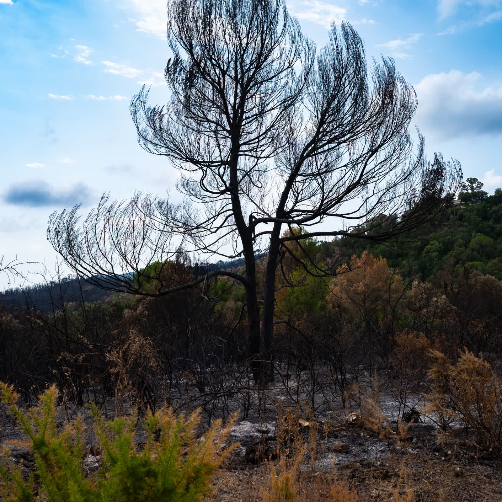
Entering a forest reserve without authority is an offence: a fine of K3,000,000 and five years in prison.
Forestry (Amendment) Act, 2025Plantations
Government plantations
The Viphya Plantations are managed as seven units.
- 22 plantations
- 99,502 ha in all
| Plantation | District | Region | Area |
|---|---|---|---|
| Lusangazi Viphya Plantations | Mzimba | North | 8,095 ha |
| Mazamba Viphya Plantations | Nkhata-Bay | North | 6,419 ha |
| Nthungwa Viphya Plantations | Mzimba / Nkhata-Bay | North | 8,827.2 ha |
| Chikangawa Viphya Plantations | Mzimba / Nkhata-Bay | North | 6,849 ha |
| Kalungulu Viphya Plantations | Mzimba / Nkhata-Bay | North | 7,828.3 ha |
| Luwawa Viphya Plantations | Mzimba | North | 8,933.5 ha |
| Champhoyo Viphya Plantations | Mzimba / Nkhata-Bay | North | 8,827.2 ha |
| Kaombe | Ntchisi | Centre | 1,004.4 ha |
| Ntchisi | Ntchisi | Centre | 218 ha |
| Dzalanyama | Lilongwe | Centre | 1,486.1 ha |
| Katete | Lilongwe | Centre | 3,270.9 ha |
| Chongoni | Dedza | Centre | 4,273.4 ha |
| Dedza Mountain | Dedza | Centre | 2,082.1 ha |
| Ngala | Dowa | Centre | 1,133.1 ha |
| Dowa Hills | Dowa | Centre | 383.9 ha |
| Dzonzi-Mvai | Ntcheu | East | 3,164.2 ha |
| Nauko | Machinga | East | 3,000.7 ha |
| Zomba Mountain | Zomba | East | 5,084.8 ha |
| Michiru | Blantyre | South | 4,236.8 ha |
| Chigumula | Blantyre | South | 3,431 ha |
| Chambe | Mulanje | South | 579.2 ha |
| Likhubula | Mulanje | South | 575 ha |
| Eastern Outer Slopes | Mulanje | South | 1,252.6 ha |
| Fort Lister | Phalombe | South | 3,430.8 ha |
| Thuchira | Mulanje | South | 1,945.3 ha |
| Nanchidwa | Mulanje | South | 2,585.3 ha |
| Amalika | Thyolo | South | 500 ha |
| Milare | Blantyre | South | 85 ha |
Nothing matches that search.
Northern Region: 1 (55,779 ha) · Central Region: 8 (13,852 ha) · Eastern Zone: 3 (11,250 ha) · Southern Region: 10 (18,621 ha)
Gallery
The forest estate
-
A pine plantation in mist -
Plantation forest -
A river through the forest -
Forested hills -
Bamboo -
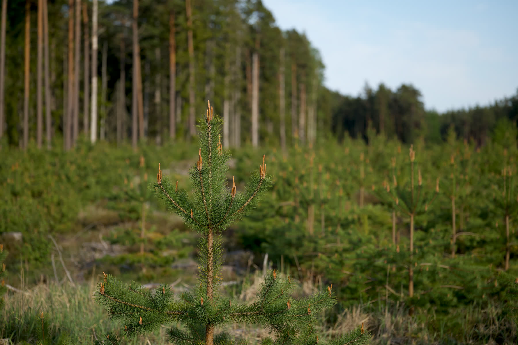
Young pines
Protect our forests
Seen encroachment, illegal cutting or a fire in a reserve?
Report it to your nearest forest office or online. Say what you saw, where and when.